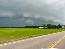


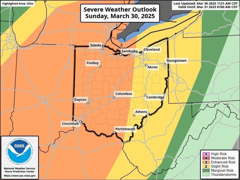
Bucyrus area residents are being urged to stay alert this evening as a powerful line of storms is expected to sweep through the area, bringing with it the potential for damaging winds, hail, and isolated tornadoes.
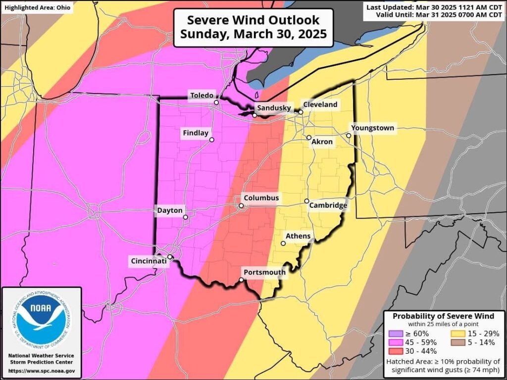
According to the latest update from the Storm Prediction Center (SPC), the 45% risk zone for damaging wind gusts has shifted eastward, now including Crawford County. This means there’s nearly a 50/50 chance that residents within 25 miles of Bucyrus could experience severe wind damage as storms roll through.
The storms are forecast to enter Western Ohio around 5 p.m. and make their way into the Bucyrus area closer to 8 p.m., arriving after sunset and increasing the danger due to low visibility. Forecasters warn that the atmosphere is primed for fast-moving storms capable of producing 70+ mph winds.
Even if tornadoes don’t develop, straight-line winds from a squall line could still cause significant damage. While the high wind and large hail threats have remained consistent, isolated tornadoes—especially those forming ahead of the main squall line—cannot be ruled out. Hail up to an inch in diameter is also possible with the stronger cells.
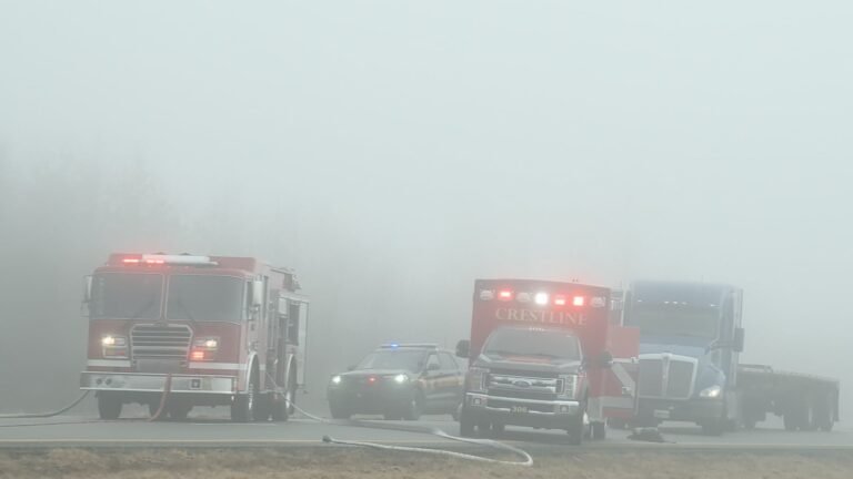
Residents are advised to secure outdoor furniture, charge electronic devices, and prepare for potential power outages. It’s also important to have multiple ways to receive weather alerts, including NOAA weather radios and mobile notifications. The safest place during a tornado warning is an interior room on the lowest level of your home, away from windows.
FreeWire Magazine will continue to monitor the situation and provide updates as conditions evolve. Stay safe, Bucyrus. Keep your phones charged and your eyes on the sky.